Maps in the Holdings of SUB Göttingen

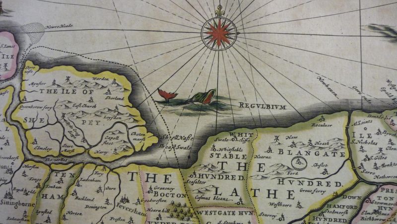
SUB Göttingen owns a rich collection of historical and modern maps. For printed maps please consult the search and database tips of the Map Collection where you also get direct access to browsing the holdings by region and by topic.
Furthermore, you can browse the digitized holdings of Göttingen's map collection via Zentrales Verzeichnis für Digitalisierte Drucke (Central Database of Digitized Prints)which offers extensive research tools.
Hand-drawn maps (shelf marks: Mapp. 1 - Mapp. 30) are kept in the Special Collections and are indexed in the manuscript catalogue:
Wilhelm Meyer: Die Handschriften in Göttingen, Bd. 2: Universitätsbibliothek. Geschichte, Karten, Naturwissenschaften, Theologie, Handschriften aus Lüneburg. Berlin: Bath, 1893. (Verzeichniss der Handschriften im preußischen Staate 1, Hannover, 2) [read it online].


